September 20, 2018

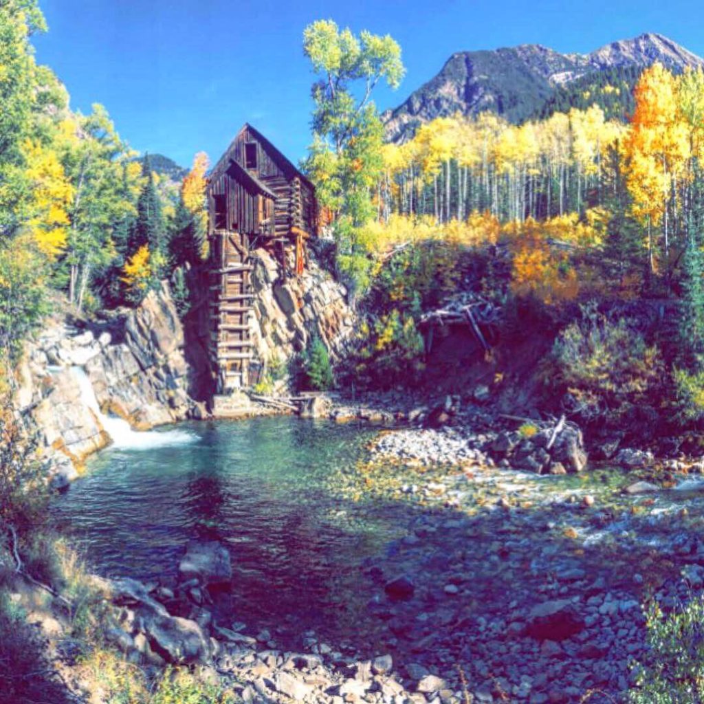
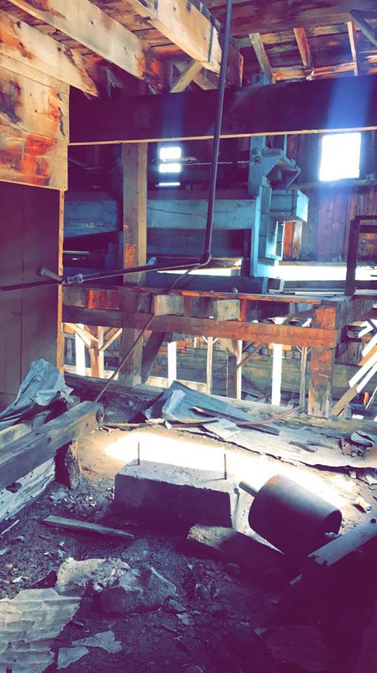
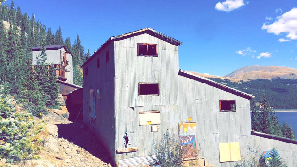
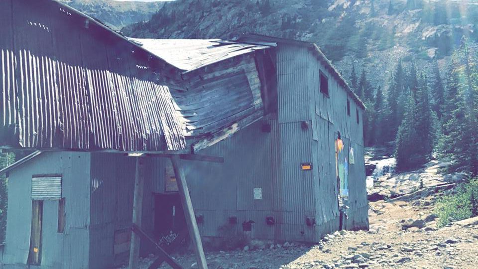
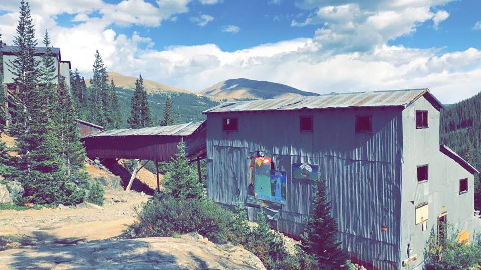
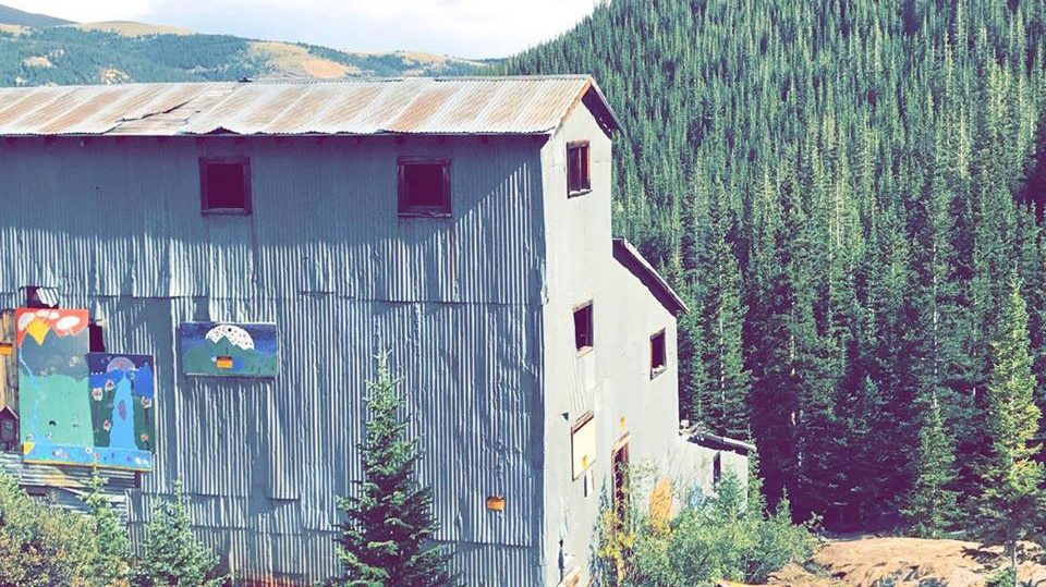
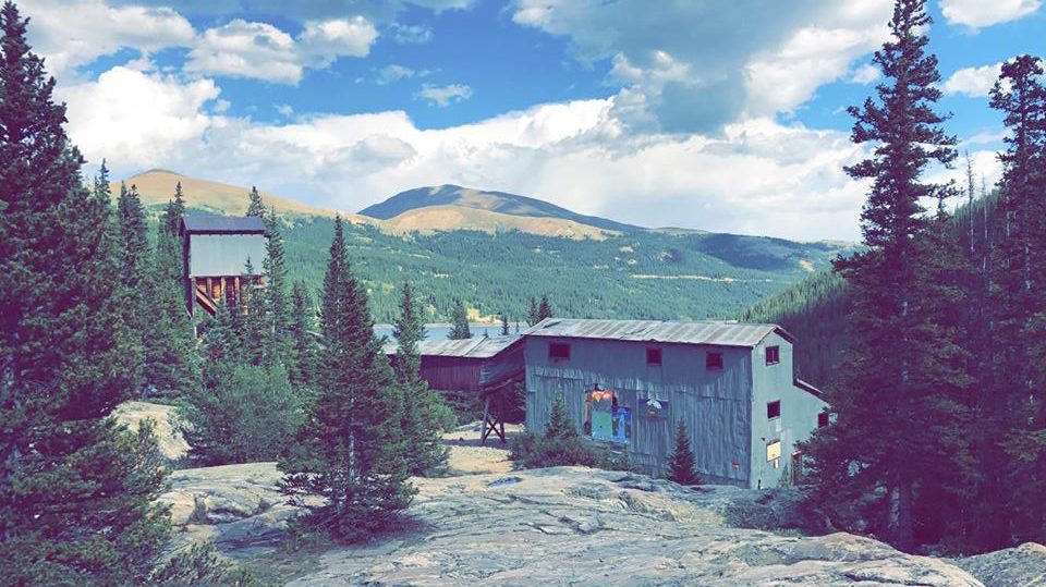
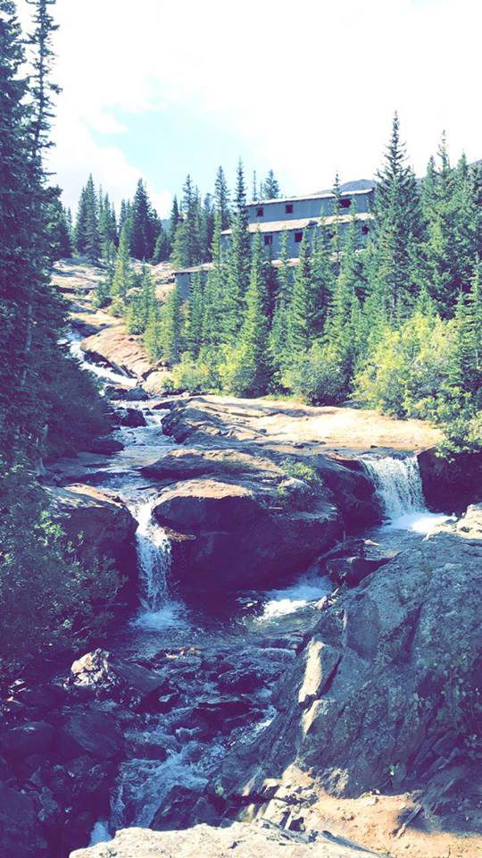
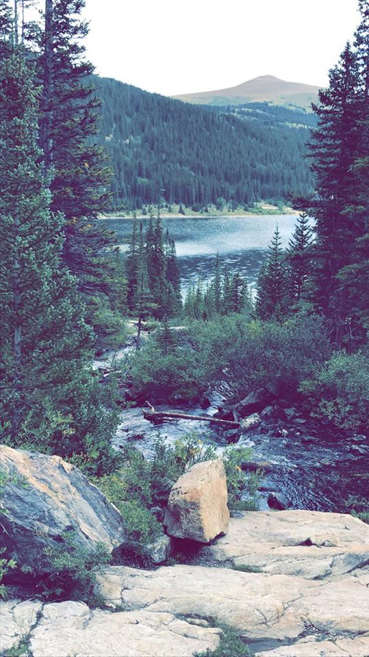
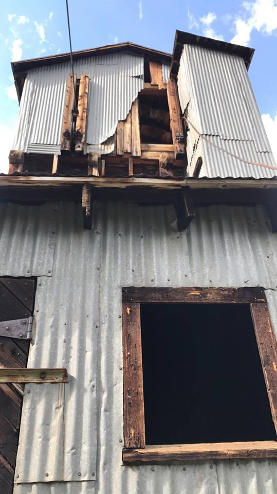
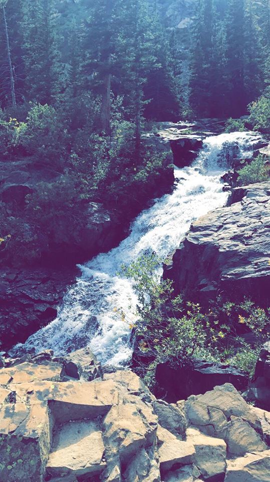
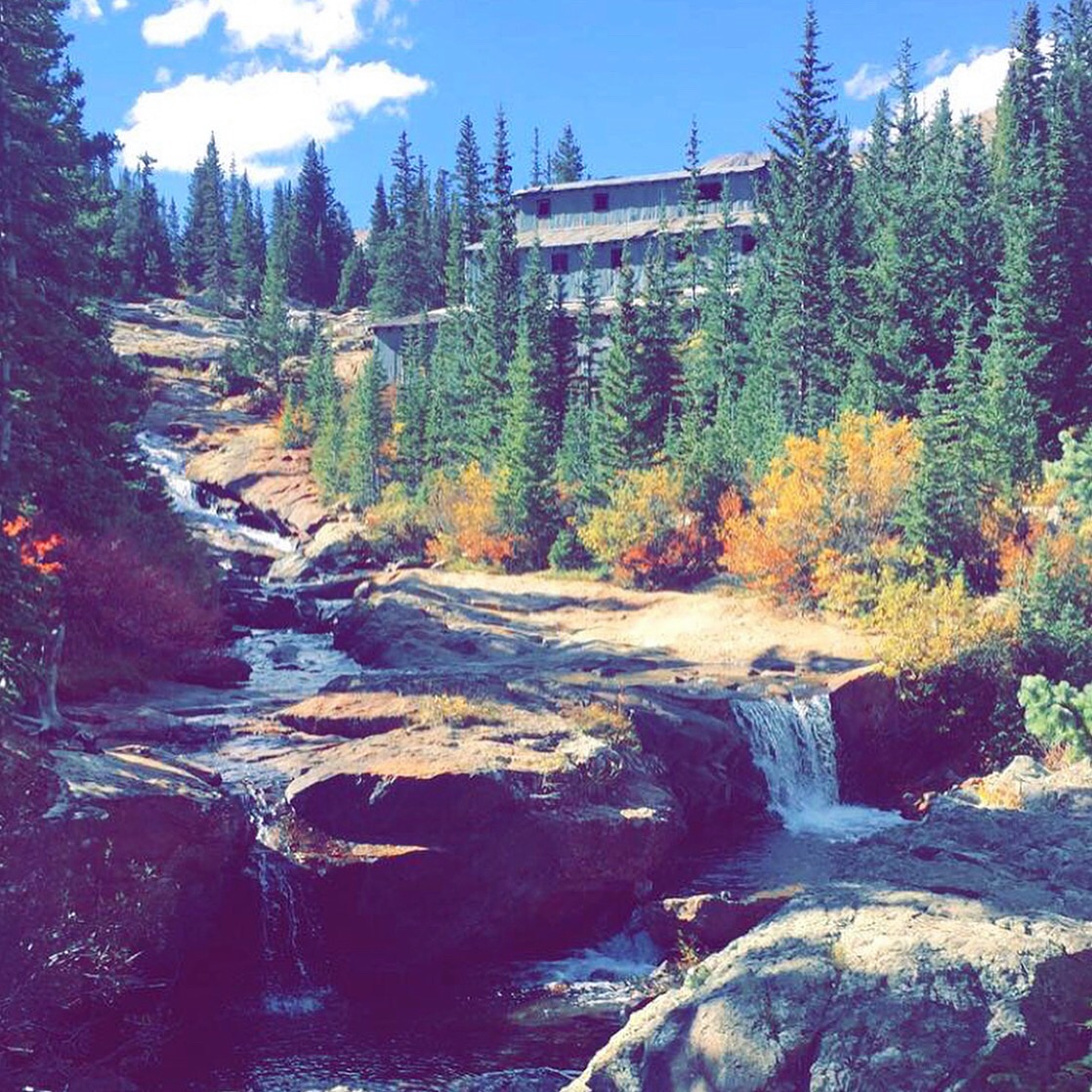
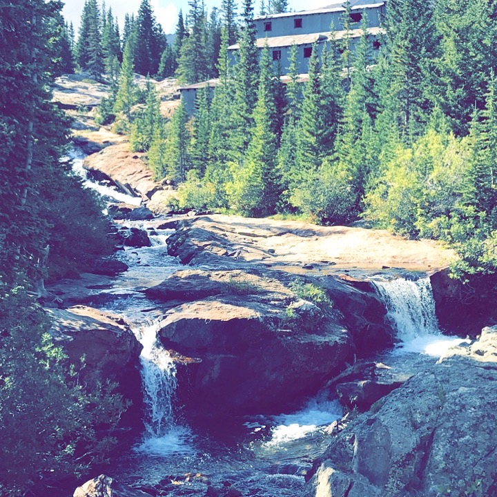
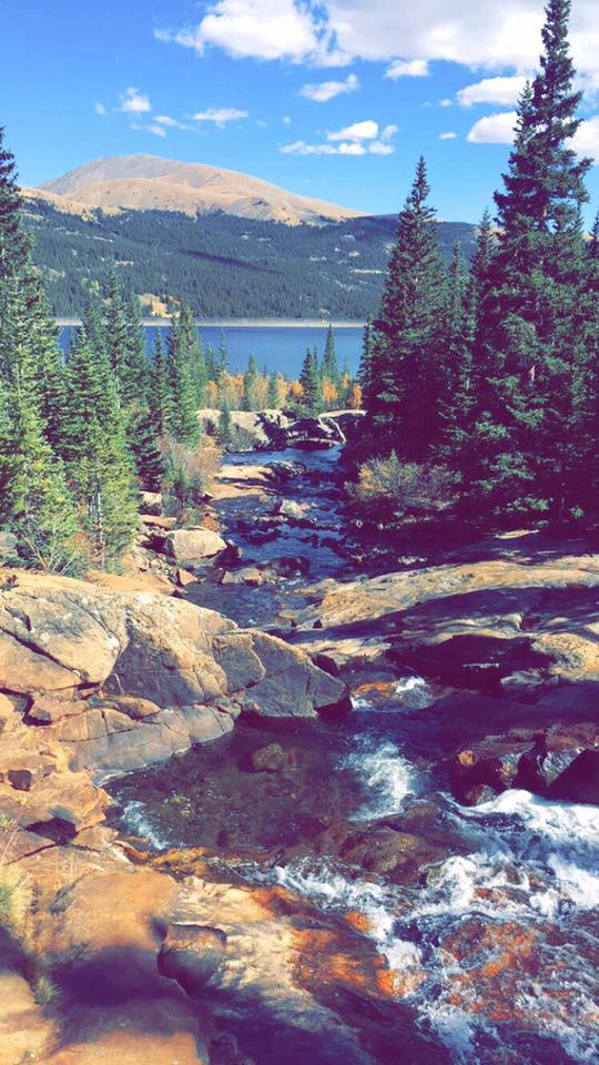
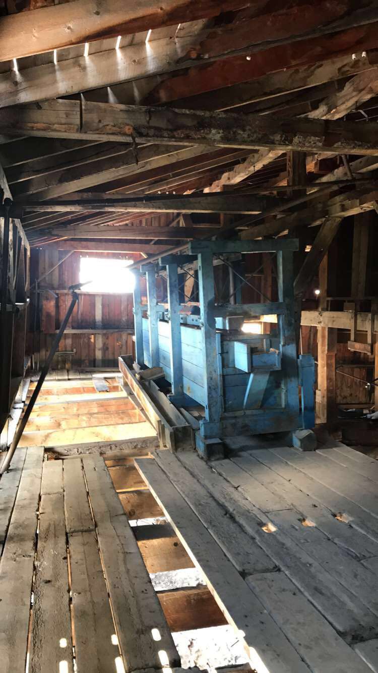
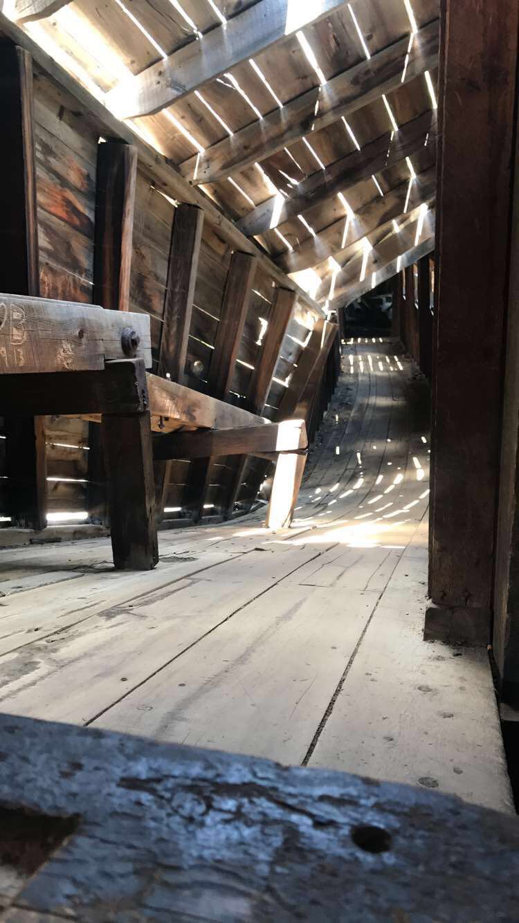
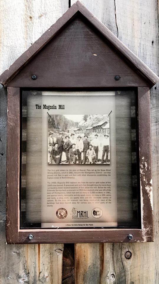
The Crystal Mill, part of the National Register of Historic Places, is an 1892 wooden powerhouse located on an outcrop above the Crystal River in Crystal, Colorado

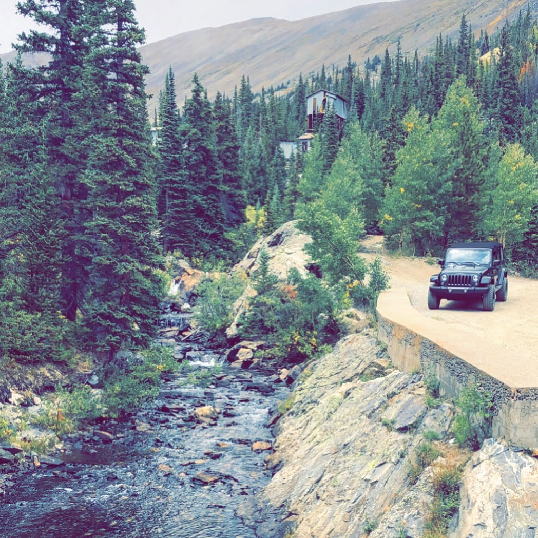
The Crystal Mill is located approximately 6 miles east of Marble, just before the ghost town of Crystal. It is only reachable in the summer and fall months by a rough, one-lane, 4-wheel-drive road.


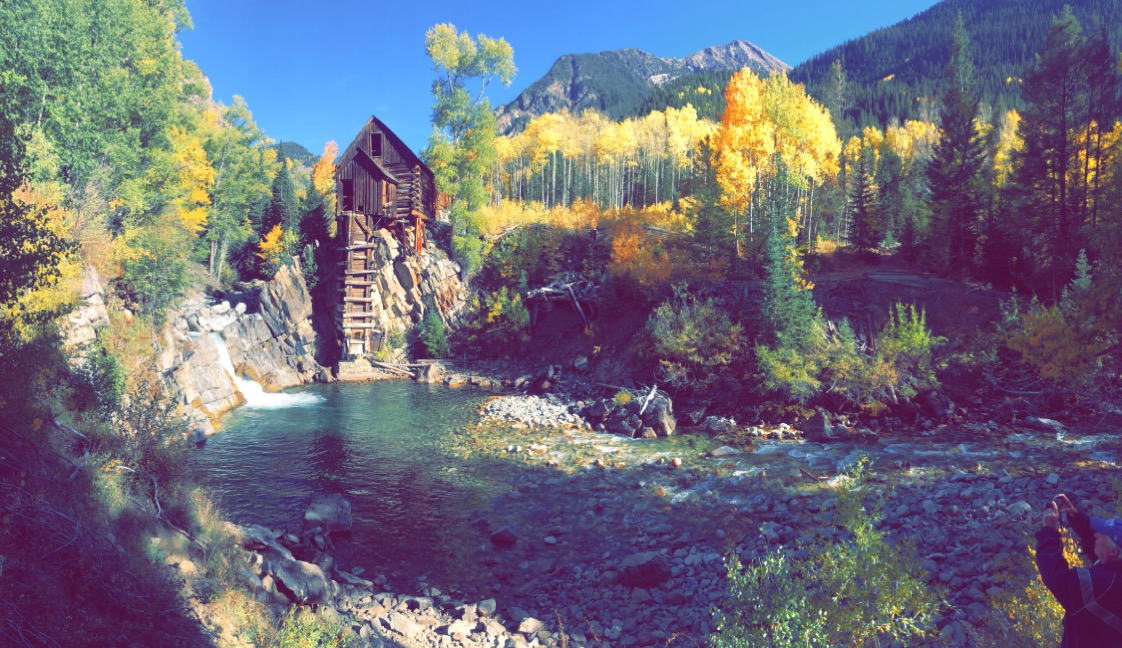
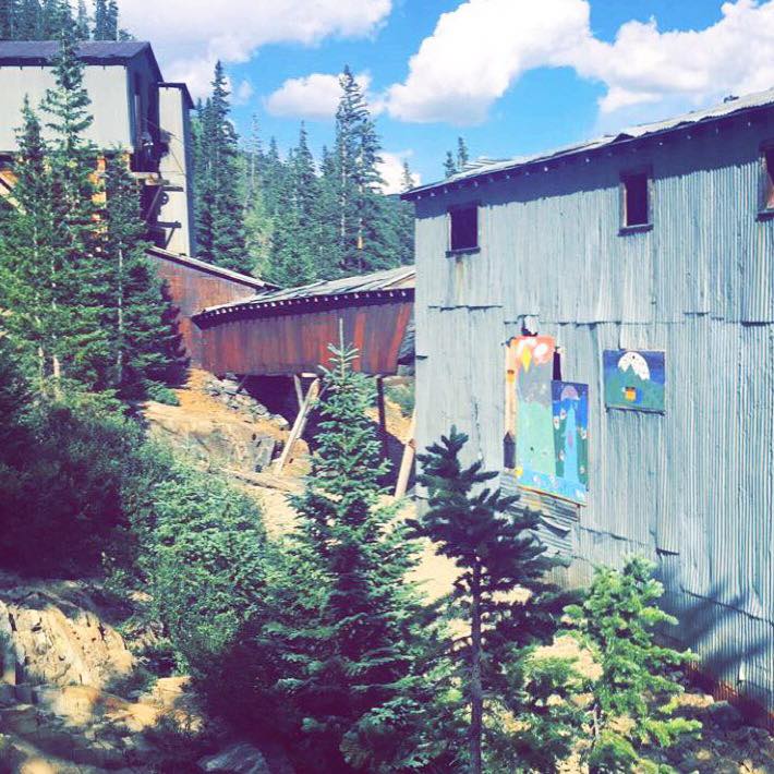
In earlier days the Crystal Mill was also known as the Sheep Mountain Powerhouse or Lost Horse Mill, and even nicknamed dead horse mill by some. This structure is a very popular place among photographers, probably the most popular in Colorado. You can find it on many book covers, calendars and post cards but there’s nothing quite like seeing it for yourself!

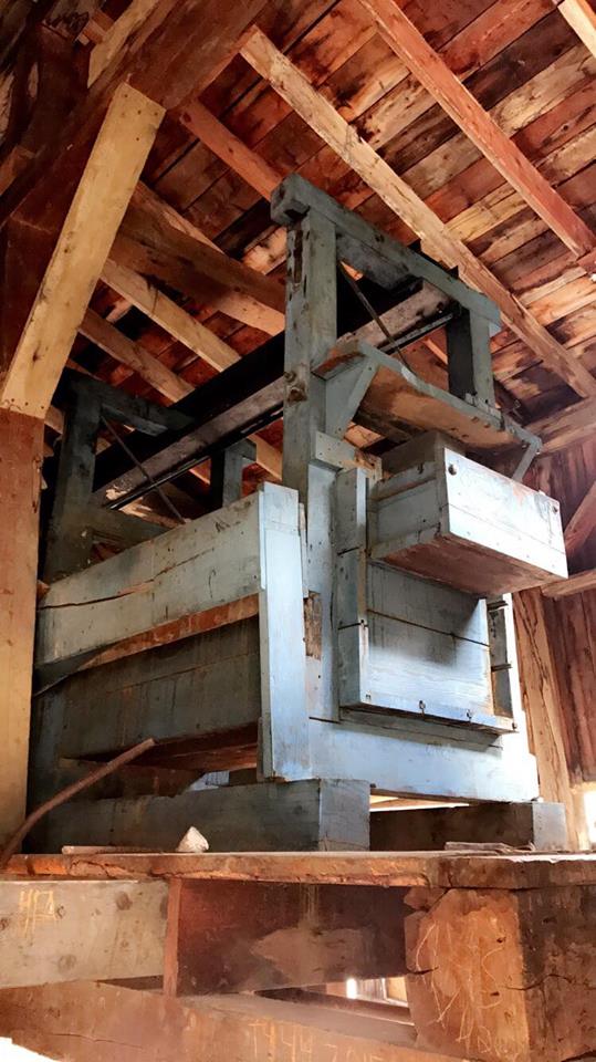
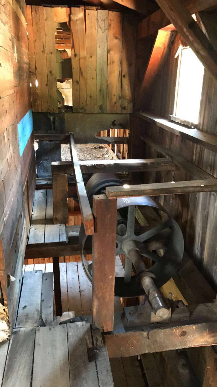
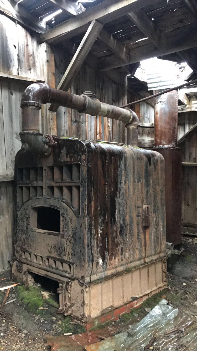
The mill has never actually had any electricity. The waterwheel on the Crystal River generated compressed air that miners used to power silver ore extraction machinery.

Subscribe to my latest blog posts!
October 10, 2017

Autumn Breeze & Colorful Leaves

These lovely pictures were captured in the months of September and October in Breckenridge, Blue River & Alma Colorado. There’s nothing quite as magical as the time of year when the winter winds turn the leaves, enhancing each plant and tree with a breathtaking contrast of warm and bright colors. This colorful phenomenon attracts what we call leaf peepers, or leafers from all over; tourists who come up just to see the beautiful leaves and take pictures.. and can you blame them?! It’s certainly any photographer or nature lover’s dream to see and capture this kind of short-lived beauty.

Subscribe to my latest blog posts!
August 27, 2017

Montgomery Reservoir & Magnolia Mine

Montgomery Reservoir is one of my favorite places to be in the Summer and Fall. This place is around the corner from where I live and it’s quite magical to say the least! The area is rich with intriguing history and breathtaking views. Whether I’m spending my time next to the reservoir or the beautiful waterfall river that flows into it, I’m surrounded by peace and beauty in every direction. Occasionally I’ll see some wildlife around the area too such as deer, fox, moose, seagulls, fish, chipmunks, marmots and a variety of bigger birds. I rarely see any other people around and when I do they’re usually hundreds of yards away fishing or something. This is a perfect place to meditate, do yoga, read, write, sketch, picnic, hike, fish, or just clear your mind. There is also a perfect trail for off-roading or 4-wheeling that takes you through gorgeous scenic mountains and old mining remnants from Montgomery Reservoir to Wheeler Lake.

The area is full of the most vibrant colors in the Fall when the aspens turn. As the leaves fall, the winter airs start blowing through and the stream ices up. This is all we get to see before they close the road down for the winter months. You can, of course, go snowshoeing through the area though if you’d like.

If you hike or take the 4×4 trail past the mine there are some gorgeous views and a few mining parts scattered around. You will also see old mine shafts hanging off the side of the mountains above.

Climbing Mount Lincoln

If you’re up for a more thrilling (dangerous) excursion, the backside of Mt. Lincoln towers over the reservoir and Magnolia Mine and is one of the 14’ers in the area. From this side of Lincoln you will have a much more difficult time climbing up than the normal public trail hike from the other side. I did this with a friend one day and we mostly CLIMBED our way up. It was pretty dangerous and we should have used equipment for parts of it. I guess I should mention .. THERE IS NO TRAIL! If you want to just climb 1/3 of the way up there are some beautiful waterfalls that form from the melted snow and can be seen looking up from the bottom near the mine. You can get to these by climbing up the boulders that are clearly visible from the bottom. We did this in June and had to traverse through a lot of snow, but then when we did it again in July it was perfect as the snow had mostly melted and there were more waterfalls from the snow melt.

Magnolia Mill

Magnolia Mill sits next to the river flowing down into the reservoir. NORMALLY the mine is closed off to the public and has no trespassing signs all over it.. but one day I was fortunate enough to find the door that was normally boarded up, laying down on the ground.. and against all better judgement.. I HAD to explore! (shhh!) What I found inside was too neat.. here are some pictures.. (also see videos below)

The History of Magnolia Mills

The first miners to this area set up The Snow Blind Mining District, which later became the Montgomery District in 1861. This district proved rich first with gold discoveries then later discoveries abundant in silver, establishing the highest mines in North America. The 1930’s Magnolia Mill replaced the former one from the 1800’s that burnt down. It processed the gold and silver that was brought down by trams from surrounding mines located hundreds of feet above the mine.

The town of Montgomery was built in 1861 and housed over 1,000 mine workers, mill workers and their families. The town consisted of hotels,, mercantile and dry good stores, drug stores, sawmills and a variety f saloons, including the largest dance hall in the region!

Mt. Lincoln, the 14,000ft peak that towers over the reservoir, was named in honor of President Lincoln who was in office at that time. They even sent him a bar of gold from the Montgomery Mine!

The remains of the town of Montgomery are now under water. Colorado Springs bought the town in 1954 and flooded it to make the reservoir that provides drinking water for the city. Thankfully we still have the mill as a reminder of the bustling mining town of Montgomery that once nested itself between these gorgeous mountains.

Behind the Scenes

This place is off-limits now and closed up by metal bars but I managed to get some pictures and videos inside the mill before it became closed off for good. If you visit, you can still peek into the Mine through various holes in the wall. This place is worth visiting if you’re ever n Alma, Colorado. You’ll rarely see other people and there are plenty of things to do and see! 

Subscribe to my latest blog posts!
August 5, 2017

Colorado's Great Sand Dunes National Park & Preserve

The Sand Dunes are a fun place for all ages with incredible views and opportunities to surf the sand! I highly recommend checking it out if you’re ever in Southern Colorado in the summertime. They rent out sleds and sand-boards, or you can just play in the sand like a kid in a gigantic sandbox! Surfing or hiking through the sand makes for a great workout with beautiful views all around. Be sure to check the weather before you go, you definitely don’t want to be caught out there in a storm! 

Highest Sand Dunes in North America!

Alamosa is known as the “Gateway to the Great Sand Dunes.” Colorado’s Great Sand Dunes National Park and Preserve is nestled in the Sangre de Cristo Mountains near Alamosa

These are the tallest sand dunes in North America and are truly a remarkable sight to see. Great Sand Dunes National Park and Preserve is open all day and night, every day of the year. The park is filled with sand dunes, forests, wetlands and alpine lakes and a rich history to explore.

Thrill-Seekers

As you approach the area, the colossal sand formations reveal themselves as giant staggering mountains of sand. The great sand dunes is a great place for families and thrill seekers alike! Enjoy plenty of exciting activities for everyone like hiking, backpacking, sand-boarding, sand-sledding, swimming in the creek, horseback riding, fat biking, fishing, hunting and even ADA accessible activities like sand wheel-chairing! You can rent a sandboard or sand sled in Alamosa or at the Oasis Store near the Great Sand Dunes Visitor Center.

Off-Roading & Camping

If you’re looking for some off-road adventuring, the Medano Pass Primitive Road is a backcountry road that winds through a canyon toward the Sangre de Cristo mountains. This road requires a 4WD vehicle, mostly for clearance needed to get through the thick sand and multiple river crossings. ATV’s are not permitted anywhere in the national park. Drive out to one of the many scenic points and set up camp! There are plenty of amazing places to camp out among the twinkling stars. Be sure to check out the latest alerts before you plan your next adventure!

Zapata Falls

If you visit here, be sure and check out Zapata Falls nearby! Zapata Falls is truly a hidden gem. This gorgeous 25-foot waterfall is located within the San Luis Valley near the base of the Sangre de Cristo Mountains. It’s surrounded by beautiful rock crevasses, carved out by the water that started its journey as Snowmelt from the San Juan Mountains. The falls are also very stunning in the winter when it freezes into a sculpture of ice. When you arrive to this destination, you’ll find that the parking lot and trailhead tower over incredibly stunning views of the Great Sand Dunes. Dogs are also able to use this trail but must be kept on leash. There are plenty of hiking trails and things to do in the area such as camping, bird watching and mountain biking. Take a pleasant hike through high desert and experience something truly magical hidden in the San Juan mountains. 

Facebook
Pinterest
Twitter
Tumblr
Subscribe to my latest blog posts!
July 15, 2017

These 14’ers are close to my home so I have traversed them many times, and from many angles! I have done the trails the way you’re supposed to, but have also climbed up the backside of Lincoln from Montgomery reservoir and the backside of Bross from Windy Ridge. These are fun mountains to play on and no matter which peak you’re on the views are quite spectacular!

If you start at Kite Lake really early in the morning you can conquer all 4 peaks in one day. I would recommend starting with Bross if you’re going to do this as the scree can be slippery and better for going up than down on that part. Bring lots of water and a jacket in case it’s cold up top, which it almost always is. I don’t recommend this trail for pets, it’s pretty jagged and rough. From the top of any of these mountains, you can look down and see Kite Lake, and you’ll quickly see where the lake get it’s name! It’s shaped like a kite, tail and all!

Subscribe to my latest blog posts!